You can display station locations on a map where the symbol color is based on the station type. Use Project Preferences to optionally specify a default GIS basemap to be used when displaying this type of map:
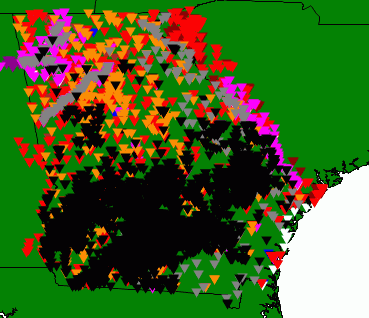
You can filter which types of stations are displayed by selecting one of the types from Data | Display or by selecting from the drop-down list on the toolbar. Move your mouse to hover over a station to get summary station information displayed on the GIS form.
When the GIS form is used to select stations for a query, the map is initially placed in "selection mode" where clicking on a station symbol or dragging a box around multiple symbols selects them. When one or more stations are selected this way, a button "Return Selected Stations" appears on the form; click this to return to the WRDB query form with the selected stations.