This GIS menu item is available only when WRDB is being used as a BASINS plugin.
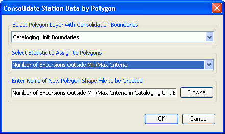
This routine is useful to take statistics computed at individual WRDB stations and consolidate them across a larger area. Selected statistics are consolidated into polygonal areas from another layer and a new polygon shape file is created with the statistics attached; this new shape file is added as a layer to the Water Resources Database layer group and a colored thematic scheme is assigned.
When selected, this dialog appears:

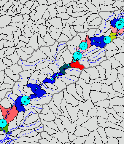
For example, consolidating minimum DO values using a 12-digit HUC polygon layer, resulted in this map:

The colors of the polygons are related to the area-averaged statistic.